
Strange rows of sharp cones
Norðurfjöll

"Though the wide seas of lava reign huge areas, strange rows of sharp cones belong to the picture of this landscape as well."
- Walter Iwan: Island 1935 - Ein historischer Landes- und Reiseführer -


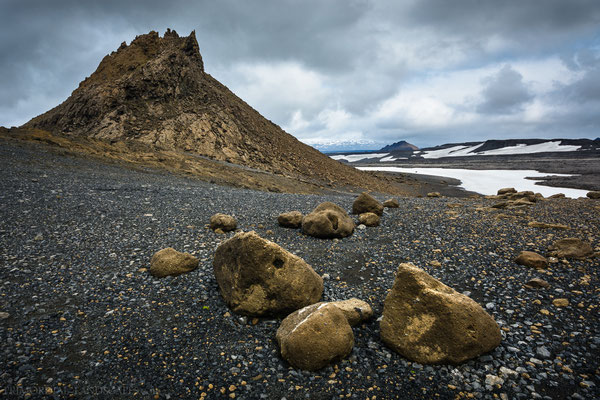


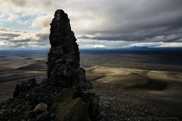


There is no place in Ódáðahraun with so many sharp ridges, spires and cones like to the north of the Dyngjufjöll (Norðurfjöll). They protrude through the ground all around. After spending two rainy days in the warm and sheltered Dyngjufell hut we walked through this otherworldly landscape...
Route: Dyngjufell Hut - Lokatindur (Lockstindur) - Tvíburatindur - Einstæðingur - Axlarfell - Fjárhólar

Picture of the Month
